
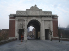


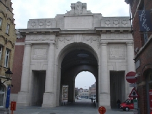
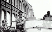
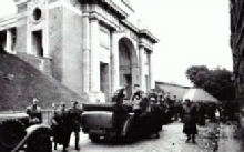
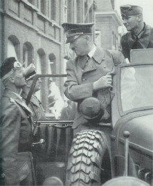
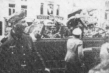
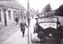
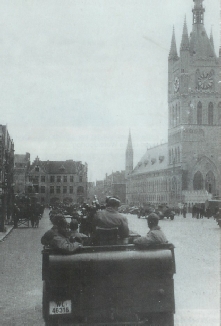
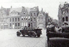
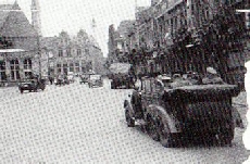
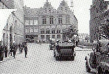
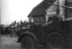
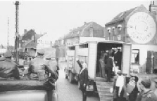
Hitler back at his car in the Kauwekijnstraat. The cars were going to drive across the Grote Markt once more and after that they left for Langemark.
(picture: Heinrich Hoffmann, 1940)
Hitler back in his car
(picture: Heinrich Hoffmann, 1940)
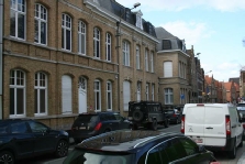
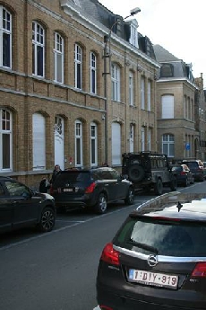
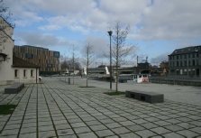
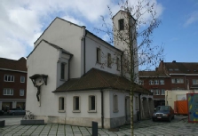
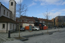
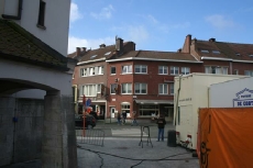
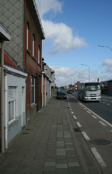
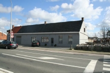
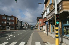
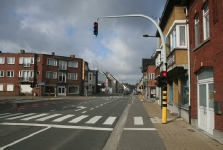
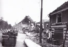
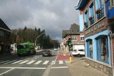
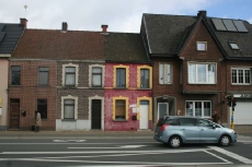
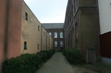
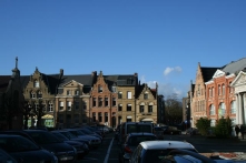
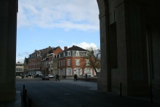
The houses in the back of the Hoffmann pictures still exist.
(pictures: the Hitlerpages, 2014)
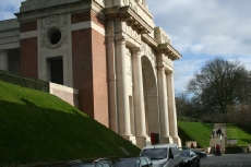
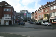
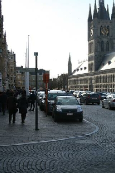
The same view today
(picture: the Hitlerpages, 2014)
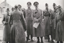
Hitler back in his car
(picture: Heinrich Hoffmann, 1940)

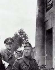

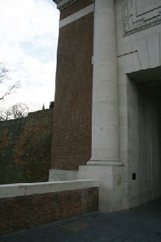

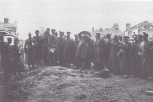

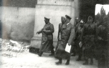
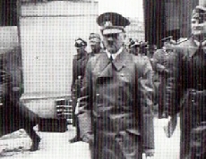
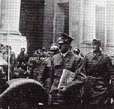
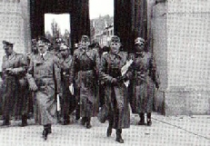
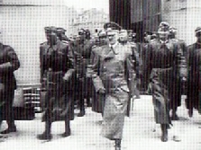
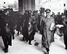
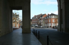
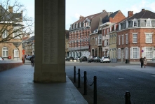
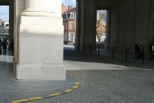
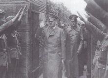
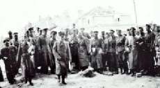
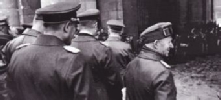
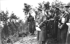
Hitler and his men walk back through the gate towards the cars. (pictures: Heinrich Hoffmann, 1940)
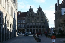
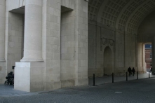
The same spots today (pictures: the Hitlerpages, 2014)
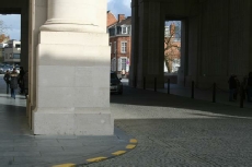
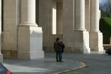

IEPER
Another picture of the same area, facing the other way, towards Ieper
(picture: Heinrich Hoffmann, 1940)
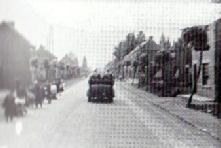
Meenseweg (17a,b)
Location: Meenseweg, near the British ‘Menin Road South Military Cemetery’, near the Karel Steverlynckstraat
Today: The cemetery is still there. The area has changed.
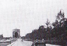
After Geluveld the cars took the Meenseweg into Ieper. Hoffmann pictures show the cars on the Meenseweg, driving towards Ieper. They passed the Britisch World War 1 cemetery.
The cars on the Meenseweg, near the cemetery
(picture: Heinrich Hoffmann, 1940)
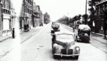
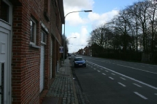
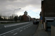
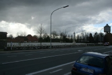
The same location on the Meenseweg, near the cemetery
(picture: the Hitlerpages, 2014)
The cemetery on the Meenseweg
(picture: the Hitlerpages, 2014)
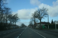
The Meenseweg, facing towards Ieper
(picture: the Hitlerpages, 2014)
Route into Ieper (17c)
Location: Rijselstraat bridge/ Rijselpoort -
Today: Changed, but still there to follow.
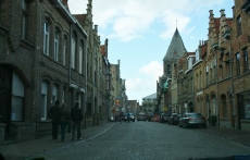
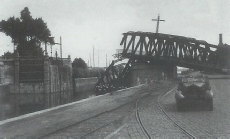
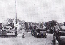
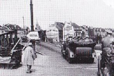
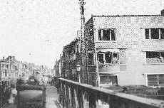
Because the bridge near the Menenpoort was blown up the cars had to take another route into Ieper. They took the Rijselstraat to the Grote Markt.
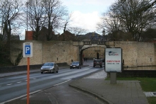
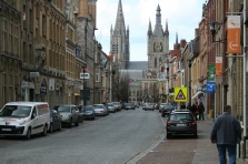
The bridge and the Rijselpoort
(picture: the Hitlerpages, 2014)
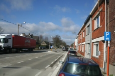
The Rijselstraat
(picture: the Hitlerpages, 2014)
Rijselstraat near the Grote Markt
(picture: the Hitlerpages, 2014)
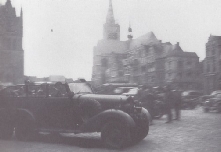
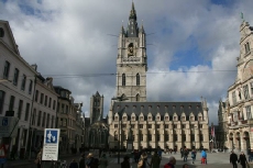
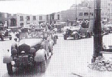
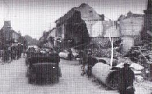
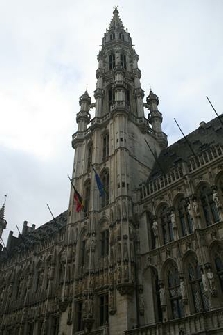
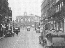
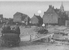
Hitler's car on the Grote Markt, coming from the Rijselstraat, driving to the Korte Torhoutstraat. Because the ruined Lakenhalle was not rebuilt until 1967, there’s an open space between the Belfort tower on the left and the cathedral on the right.
(picture: unknown, 1940)
Grote Markt (18)
Location: Grote Markt
Today: Still there
Hitler passed the Lakenhal on the Grote Markt and was driven through the Korte Torhoutstraat (18a) to the Kauwekijnstraat (18b), near the Menenpoort. After visiting the Menenpoort, the cars drove back through the Menenstraat (18d) and crossed the Grote Markt again in the opposite direction.
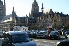
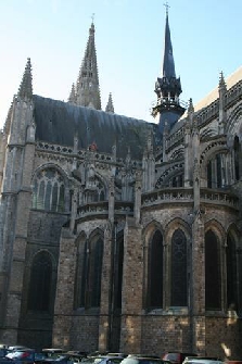
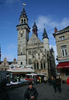
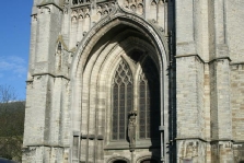
St. Maartenscathedral
(picture: the Hitlerpages, 2014)
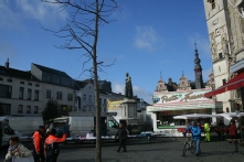
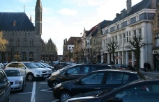
This picture was taken from about the same spot were the picture of Hitler's car was taken. Now the rebuilt part of the Lakenhalle is inbetween both towers.
(picture: the Hitlerpages, 2014)
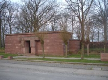
The entrance of the cemetery, with the hedges on the right
(picture: the Hitlerpages, 2007)
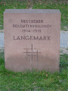
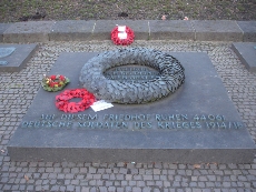
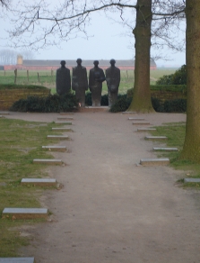
The Langemark graveyard
(picture: the Hitlerpages, 2007)
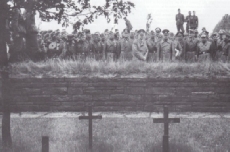
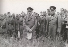
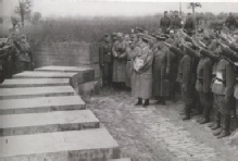
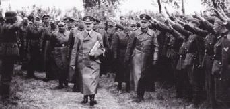
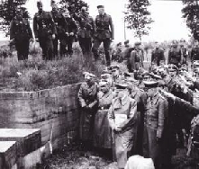
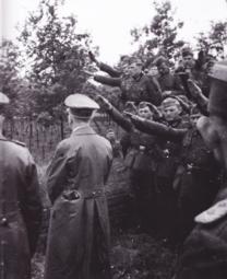
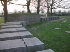
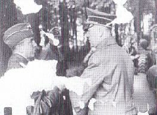
Hitler and general Von Schwedler on the cemetery of Langemark, looking towards the gravefield behind the tombs (pictures: Heinrich Hoffmann, 1940)
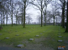
The gravefield today
(picture: the Hitlerpages, 2007)
German War Cemetery (19)
Location: Klerkenstraat, north of Langemark village, on the northern exit in the direction of Houthulst
Today: Still there
In Langemark Hitler met general Von Schwedler. He went to see the German cemetery of soldiers that died during the First World War. The name of Hitler’s first regiment commander Julius List is on a memorial stone on this graveyard.
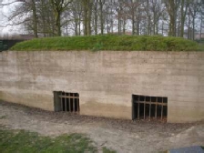
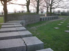
A bunker in between the tombs
(picture: the Hitlerpages, 2007)
The exact same spot today
(picture: the Hitlerpages, 2007)
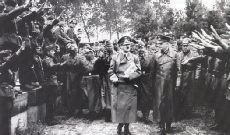
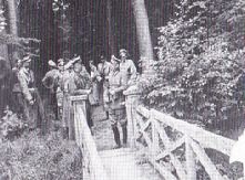
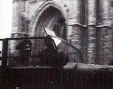
Hitler on the cemetery of Langemark. He walks from the entrance on a path between two hedges towards another path that leads to several tombs and a gravefield. The graveyard has not changed much over the years.
(pictures: Heinrich Hoffmann, 1940)
Hitler and his men looking
at the tombs
(picture: Heinrich Hoffmann, 1940)
LANGEMARK
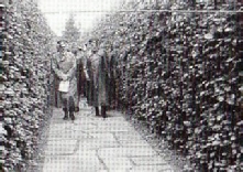
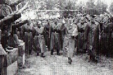
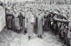
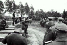
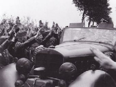
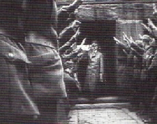
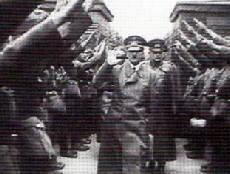
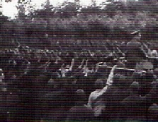
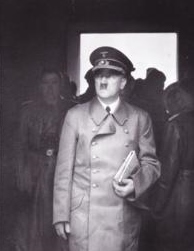
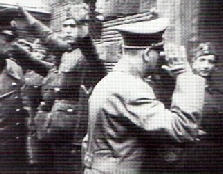
Hitler leaves the cemetery. He walks through the gate on the side of the entrance building, turns left and leaves through that building. (pictures: German Newsreel)
Hitler looking towards the gravefield (picture: Heinrich Hoffmann, 1940)
Hitler leaves through the main building (picture: German Newsreel)
Hitler in his car on the Klerkenstraat, leaving Langemark
(pictures: Centre: Heinrich Hoffmann, 1940 & Right: German Newsreel)
Hitler inside the entrance building of the cemetery
(picture: Heinrich Hoffmann, 1940)
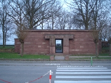
The main building
(picture: the Hitlerpages, 2007)
Route through Boezinge (20), Elverdinge (20a.), Poperinge (21) and Reningelst (21e)
Exact route: Unknown, but Hitler most likely rode through the Bruggestraat (21a), across the Grote Markt (21b) and through the Vlamingstraat (21c) and Deken de Bolaan 21d) in Poperinge and through the Poperingestraat in Reningelst (21e). After that the cars took the Clyttesteenweg towards the Kemmelberg (21f).
After Langemark the cars went to the Kemmelberg, through Boezinge, Elverdinge, Poperinge and Reningelst.
Hitler in Poperinge on the Grote Markt (picture: Ernest Leeuwerek, 1940)
Another picture of Hitler on the Grote Markt in Poperinge
(picture: Heinrich Hoffmaan, 1940)
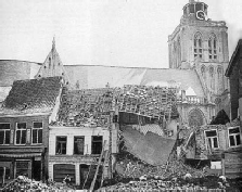
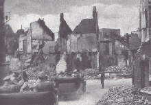
Hitler must have seen these ruined houses on the Grote Markt: Heinrich Hoffmann made a similar picture.
(picture: Heinrich Hoffmann, 1940)
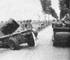
Hitler's car passed a gun on the Clyttesteenweg between Reningelst and the Kemmelberg.
(picture: Heinrich Hoffmann, 1940)
BOEZINGE, ELVERDINGE, POPERINGE & RENINGELST


ODENDORF (GERMANY)
Brussels -
Known part of the route: Tervuurse Laan (1a), Triomfboog, Jubelpark (2), Wetstraat (3), Naamse Poort (3a), Louizaplein (3b), Palace Of Justice (4), Kleine Zavel (4a) Regentschapsstraat (5), Museum voor Oude Kunst (5a), Koningsplein (5b), Royal Palace (6), Koningsstraat (6a), Kathedraal van St. Michiels en St. Goedele (7), Grote Markt (8), Kolenmarkt (9), Beurs, Beursplein (9a), Brouckèreplein (9b), Emile Jacqmainplein (9c), Antwerpselaan (9d), Laan Leopold II (9e), Kaizer-
After having left the airport Hitler’s automobile column rode through the city of Brussels. Hitler had been in Brussels before during WW1, when he was on a leave. He was back there on June 1, 1940.
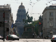
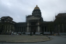
The palace of Justice today, as seen from the Boulevard du Régent, near the Naamse poort
(picture: the Hitlerpages, 2014)
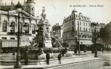
An old postcard of the Naamse Poort
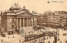
A postcard of the Beurs in Brussels in 1911
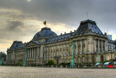
The Royal Palace in Brussels
(picture: wikipedia)

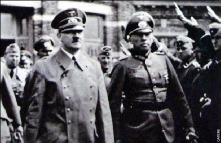
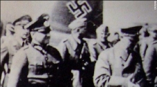
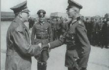
Hitler at Brussels-
Hitler at Brussels-
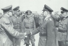
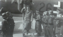
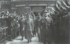
Above: Hitler shakes hands with Generaloberst Von Bock
Below: Hitler shaking hands with Kesselring. Behind them Von Bock and Brauchitsch
(pictures: Heinrich Hoffmann, 1940)
BRUSSELS
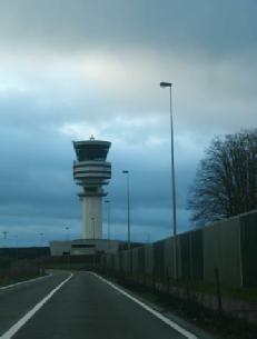
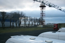
Brussels Airport today. Brussels-
Blown up bridges (10)
Location: Channel of Willebroek
Today: There are two bridges today: one for trains and one for cars and other traffic. The channel was also broadened in the fifties.
According to the Dutch version of the magazine After the Battle Hitler made a detour to the North, after having left Brussels. On May 17 a fight had been taking place near the bridge of Kapelle-
Is this the Bridge over the channel of Willebroek and was Hitler really there?
(picture: Heinrich Hoffmann)
(KAPELLE-
Asse (10a)
Exact route: Unknown
Asse seems to have been on the route that Hitler took that day.
ASSE
GENT
Tour through the city of Gent (12a)
Location: Vlaanderenstraat (12) Limburgstraat (12a)
Today: Still there
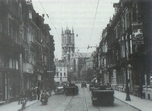
There’s a picture of Hitler’s automibile column driving through the Limburgstraat.
Aalst was the next place on the route. The cars didn’t stop at Aalst.
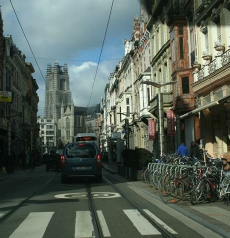
Above: The cars driving through the Limburgstraat in Gent. In the back of the picture is St. Baafscathedral. (picture: Heinrich Hoffmann, 1940)
Right: About the same view today
(picture: the Hitlerpages, 2014)
Tour through the city of Gent (12b, c)
Location: St. Baafskathedraal, Lakenhalle, St. Baafsplein
Today: Still there
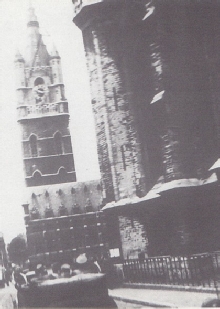
Hitler’s car rode past the St. Baafscathedral onto the St.Baafsplein.
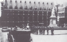
Hitler’s car is right next to the tower of St. Baafscathedral. The Lakenhal on the St. Baafsplein is the other building on the picture.
(picture: Mathot, 2001)
St. Baafsplein today is not longer open for traffic.
(picture: the Hitlerpages, 2014)
Hitler’s car near the statue in front of the Lakenhalle (Mathot, 2001)
Tour through the city of Gent (12c)
Location: Gravensteen Fortress, Veerleplein, corner Geldmunt/ Rekelingestraat
Today: Still there
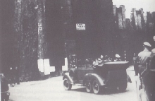
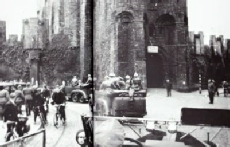
Hitler’s car also past the fortress of Gravensteen. After that it turned into the Burgstraat.
Hitler’s car in front of the Gravensteen fortress. Hitler probably did not go inside the fortress. (pictures: Heinrich Hoffmann, 1940)
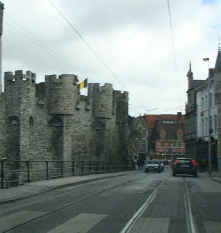
The Gravensteen fortress
(picture: the Hitllerpages, 2014)
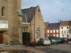
The house where Joseph Goethals lived. (picture: the Hitlerpages, 2009)
Airport Bissegem -
Location: Along the Kortrijkstraat between Kortrijk and Wevelgem
Today: There’s still an airport, but it’s been completely renewed. It’s called Kortrijk-
Hitler was driven from Kortrijk to the airport of of Wevelgem-
Heinrich Hoffmann and some men of the SS at the airport Bissegem
(picture: Heinrich Hoffmann Archive)
BISSEGEM
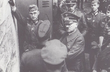
Hitler inside a building of airport Bissegem, talking with von Reichenau and looking at a map on the wall (pictures: Mathot, 2001)
Hitler at Bissegem airport, outside (pictures: Mathot, 2001)
Airport Kortrijk-
(picture:the Hitlerpages, 2014)
Route through Wevelgem (15), Menen (16) and Geluveld (16a)
Exact route: Kortrijkstraat -
The route continued through Wevelgem and Menen. After that Hitler was driven past Geluveld, where he saw the first action when he was there in WW1. The cars were headed to Ieper.
WEVELGEM & MENEN & GELUVELD
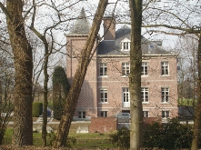
Geluveld Castle. Here Hitler’s regiment in WW1 lost its first commander, called List.
(picture: the Hitlerpages, 2007)
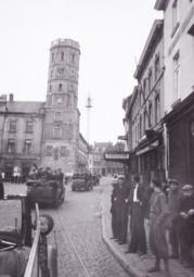
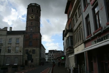
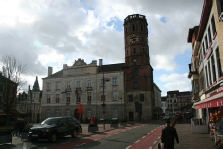
The Grote Markt in Menen today
(picture: the Hitlerpages, 2014)
Hitler's car passes the Grote Markt
in Menen.
(picture: Heinrich Hoffmann, 1940)
On June the first, 1940 Hitler was driven through Belgium and the north of France. He met several army generals, but there was also time for some visites to locations that had to do with WW1. After a tour through Brussels and Ieper Hitler went to the German War Cemetery in Langemark where the name of Julius List, the commander of Hitler’s regiment in the beginning of WW1 who died during Hitler’s first battle, is engraved in a stone marker. The mentioned locations are in Belgium unless otherwise indicated.
Brussels: 1. Brussels Evere 1a. Tervuurse Laan
2. Triomfboog 3. Wetstraat 3a. Naamse Poort
3b. Louizaplein 4. Palace of Justice 4a. Kleine Zavel 5. Regentschapstraat 5a. Museum voor Oude Kunst 5b. Koningsplein 6. Royal Palace
6a. Koningsstraat 7. Kathedraal van St. Michiels en St. Goedele 8. Grote Markt 9. Kolenmarkt
9a. Beurs, Beursplein 9b. Brouckèreplein 9c. Emile Jacqmainlaan 9d. Antwerpselaan 9e. Laan Leopold II 9f. Keizer-
11h. Molenstraat 11i. Grote Markt
11j. Vlaanderenstraat 11k. Gentsesteenweg;
11l. Grote Steenweg, Oordegem;
Melle: 11m. Brusselsesteenweg, crossing 11n. Brusselsesteenweg, crossing 2 11o. Park Paters Jozefieten Gent: 12. Vlaanderenstraat 12a. Limburgstraat 12b. St. Baafskathedraal 12c. Lakenhal, St. Baafsplein 12d. Gravensteen (12e. was deleted); 12f. Deinze; 12g. Kortrijk; 13. Marktplein, Ardooie(detour); 14. Airport Bissegem; 15. Wevelgem; 16. Menen; 16a. Geluveld; Ieper: 17a Meenseweg, 17b. Meenseweg 2 17c. Rijselstraat

OORDEGEM
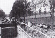
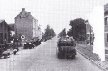
On the way to Oordegem
(picture: Heinrich Hoffmann, 1940)
Oordegem, Grote Steenweg 112-
(picture: Heinrich Hoffmann, 1940)
The road to Oordegem today
(picture: the Hitlerpages, 2014)
Grote Steenweg 112-
(picture: the Hitlerpages, 2014)


Belgium and France, June 1, 1940 weergeven op een grotere kaart

Route through Aalst (11)
Exact route: Brusselsesteenweg (11) -
Today: Many houses and bridges of Aalst were ruined in 1940. The Island of Chipka doesn’t exist anymore.
Aalst was the next place on the route. The cars didn’t stop at Aalst.They first crossed the temporary bridge near the ruined Zeebergbrug in the area of the goods station. On their way they saw a lot of destroyed buildings. After that they went straight to Gent.
AALST
The cars turn left here, into the Molenstraat. On the left was the Werfchapel, on the right was the watermill of Gheeraerdts.
(picture: Heinrich Hoffmann,1940)
Who can identify this picture? It must have been taken in the area of Aalst.
(picture: Heinrich Hoffmann,1940)
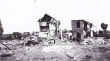
The area of the goods station: on the picture is the ruined house of Van Kerckhoven, near the Zeebergbrug.
(picture: Heinrich Hoffmann,1940)
Hitler driving onto the temporary bridge near the Zeebergbrug in the area of the goods station
(pictures: Heinrich Hoffmann,1940)
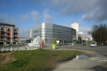
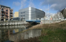
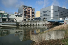
The Zeebergbrug today
(pictures: the Hitlerpages, 2014)
The goods station today
(picture: the Hitlerpages, 2014)
The same location today: the chapel has been rebuilt, but the watermill hasn’t. There’s a small boulevard now.
(pictures: the Hitlerpages, 2014)
The Molenstraat
(picture: the Hitlerpages, 2014)
The Grote Markt in Aalst
(picture: the Hitlerpages, 2014)

DEINZE
The coloured pictures were taken from the same crossing. The area has changed a lot.
(pictures: the Hitlerpages, 2014)
The cars stop shortly in Deinze for an unknown reason.
(picture: Heinrich Hoffmann, 1940)
18. Lakenhal, Grote Markt 18a. Korte Torhoutstraat 18b. Kauwekijnstraat 18c. Menenpoort 18d. Menenstraat 18e. Jules Coomanstraat 18f. Van Den Peereboomplein 18g. Kloosterpoort; Langemark: 19. German War Cemetery; 20. Boezinge; 20a. Elverdinge 21. Poperinge 21a. Bruggestraat, 21b. Grote Markt, 21c. Vlamingstraat, 21d. Deken de Bolaan; 21e. Reningelst, 21f. Clyttesteenweg; 22. Kemmelberg; 23 Wijtschate; 23a. Mesen: 23b. Korte Mooiestraat, 23c. St. Niklaaskerk, 23d. Rijselstraat; 23e. Warneton -

MELLE
Hitler's motorcade on the Brusselsteenseweg/crossing Geraardsbergseweg-
(picture: Heinrich Hoffmann, 1940)
The crossing today
(pictures: the Hitlerpages, 2014)

Hitler's motorcade on the Brusselsteenseweg, crossing Kerkstraat
(picture: Heinrich Hoffmann, 1940)
The Brusselsteenseweg, crossing Kerkstraat today
(pictures: the Hitlerpages, 2014)
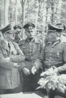
Hitler talking to Von Küchler
(picture: Heinrich Hoffmann, 1940)

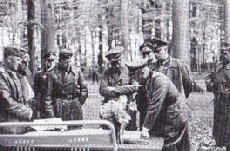
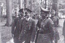
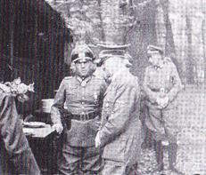
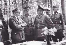
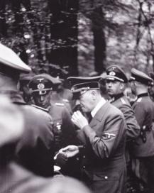
Hitler and the general looking at the maps on a table. They’re talking about the military situation in Belgium. Someone put some flowers on the table... (pictures: Heinrich Hoffmann, 1940)
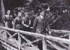
After the meeting, Hitler had a simple meal in the parc. (pictures: Heinrich Hoffmann, 1940)
Hitler leaves the parc to go to Gent. (pictures: Heinrich Hoffmann, 1940)
There’s not much left of the parc; the school was enlarged over the years. (pictures: the Hitlerpages, 2014)

KORTRIJK
Hitler's car in front of St. Maartens Cathedral
(picture: Heinrich Hoffmann, 1940)
Hitler's motorcade on the
Grote Markt
(picture: Heinrich Hoffmann, 1940)

The Grote Markt today
(picture: the Hitlerpages, 2014)
The cars drive from the Grote Markt to the Kloosterpoort and turn around to go back to the Grote Markt.
(pictures: Heinrich Hoffmann, 1940)
The same locations today
(pictures: the Hitlerpages, 2014)
St. Maartens Cathedral today
(picture: the Hitlerpages, 2014)
The cars near the Triomfboog at the Jubelpark (picture: Hoffmann Archive)
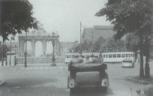
Triomfboog (Triumphal Arch)
Location: Jubelpark (2)
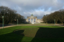
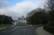
Today: Traffic no longer runs across the roudabout in front of the Triomfboog. The buildings still exist.
Hitler's car was driven past the Triomfboog in Brussels. There are no pictures of Hitler leaving the car, so it’s most likely he just drove past the triumphal arch.
The exact same location today
(picture: the Hitlerpages, 2014)
The Triomfboog and the Jubelpark
(picture: the Hitlerpages, 2014)
The cars driving through the Regentschapsstraat, the palace of Justice is in the backof the picture (picture: Heinrich Hoffmann, 1940)
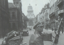
Regentschapsstraat (5)
Location: Street inbetween the Naamse Poort and the Palace of Justice
Today: Most of the buildings on the Hoffmann picture still exist.
One of the pictures of Heinrich Hoffmann shows the cars driving towards the Naamse Poort, coming from the Louizaplein (the square in front of the Palace of Justice).
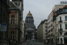
The same location today
(picture: the Hitlerpages, 2014)
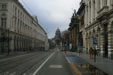
The Regentschapsstraat
(picture: the Hitlerpages, 2014)
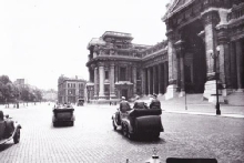
Hitler's car in front of the Palace of Justice
(picture: Heinrich Hoffmann, 1940)
Palace of Justice (4)
Location: Louizaplein
Today: Still there.
Another Hoffmann picture shows the cars in front of the Palace of Justice.
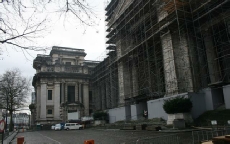
The palace of Justice was being renovated in February 2014.
(picture: the Hitlerpages, 2014)
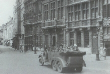
Here the cars are on the Grote Markt, driving into the Kolenmarkt street. (picture: Heinrich Hoffmann, 1940)
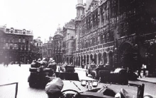
Hitler's car driving on the Grote Markt (picture: Heinrich Hoffmann, 1940)
Grote Markt (8)
Location: Grote Markt
Today: Still there.
The Hoffmann pictures also show Hitler on the beautiful market square of Brussels.
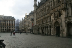
The same location today
(picture: the Hitlerpages, 2014)
Town Hall on the Grote Markt
(picture: the Hitlerpages, 2014)





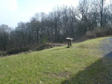
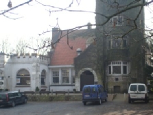
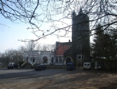
The Kemmelberg today
(picture: the Hitlerpages, 2009)
KEMMELBERG
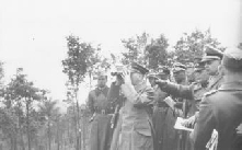


Route through Kemmel (22a/b), Wijtschate (23) and Mesen (23a)
Exact route: Kemmelberg -
When they left the Kemmelberg the cars headed to the border of France, to get to Lille. According to Siegfried Debaekes book ‘Hitler in Vlaanderen’ a lot of witnesses said different things about the route Hitler took after having left Kemmel. The claim that the cars drove to Wijtschate to visit the Kroonaardbos is very likely to be not true. Instead of that they turned right before they got to Wijtschate, and drove to Mesen.
KEMMEL, (WIJTSCHATE), MESEN
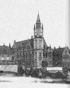
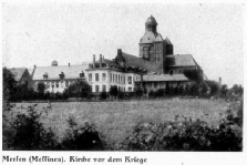
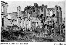
The church and Kloster of Mesen before and after WW1
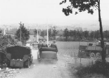
On the road from the Kemmelberg to the village of Kemmel
(picture: Heinrich Hoffmann, 1940)
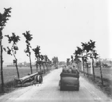
The road from Kemmel to Wijtschate
(picture: Heinrich Hoffmann, 1940)
Lille (France)
Part of the route:
-
-
-
-
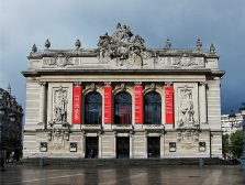
Before goimg to the Chateau de Brigode in Annappes, Hitler was driven through the city of Lille. In the period between January and July 1916 Hitler often went to Lille when he was on a leave. Sometimes he went to the Théatre de l’Opera. At other times he just wandered through the city. (source: Weber, 2010)
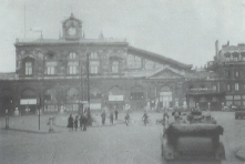
The cars near the station
Lille Flandres
(picture: Heinrich Hoffmann, 1940)
LILLE (FRANCE)


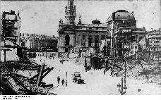
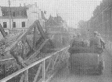
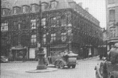
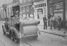
Hitler's motorcade drives through Lille. I have not yet identified the locations where these pictures were taken. (pictures: Heinrich Hoffmann, 1940)
Here the cars drive on the Rue Faidherbe, towards the station. (picture: Heinrich Hoffmann, 1940)
Two more pictures of the cars driving to Annappes. The exact locations are unknown. (pictures: Heinrich Hoffmann, 1940)

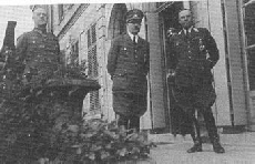
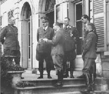
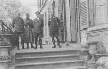
Hitler in front of the Chateau de Brigode (pictures: Heinrich Hoffmann, 1940)
ANNAPPES
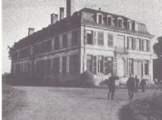
Chateau de Brigode in Annappes (picture: Mathot, 2001)
Route through Mesen (23a-
Route: Korte Mooiestraat (23b) -
Hitler knew the area of Mesen and Comines very well, because he had been stationed there in WW1. He had drawn the church of Mesen and he had lived in a farm nearby, called the Bethlehem Farm.
MESEN
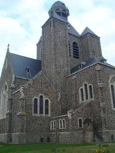
The St. Niklaaskerk in Mesen
(picture: the Hitlerpages, 2007)
Route through Warneton and Bas Warneton -
Route: Chaussée de Warneton (23e)
In Siegrfried Debaekes book ‘Hitler in Vlaanderen’ the writer mentions that Hitler might have left the car on the road between Warneton and Bas-
WARNETON & BAS-
The cars cross a temporary bridge across the channel in Komen. (picture:Heinrich Hoffmann, 1940)
Route through Komen, Wervik and Menen
Route: Bridge across the channel in Komen in the Waastenstraat (Rue de Warneton) (23f) -
To get to Lille (Rijsel) Hitler had to cross the river Leie. In Komen (Comines) the cars went over a temporary bridge over the channel Ieper -
KOMEN, WERVIK & MENEN
Here the cars finally cross the Leie. (picture:Heinrich Hoffmann, 1940)

