




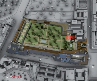
A plan of Hitler’s chancellery. The left side of the building was the chancellery, in the centre was the Mittelbau with the famous marmer gallery and on the right was the Präsidialkanzlei (presidential chancellery). There was a bunker underneath the Mittelbau (1) with exits (5) on the forecourt side. This bunker could be the ‘cellar’ where the groups gathered, but there were more cellars below the chancellery. (map: Keystone)
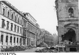
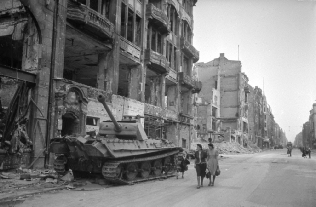
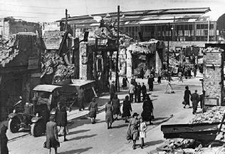
The ruined Voßstrasse in 1946. From here the Bormann group crossed the street to the Wilhelmplatz.(picture: Bundesarchiv)
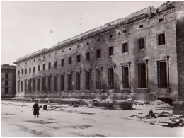
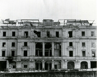
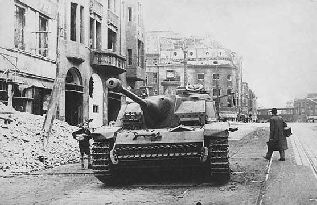
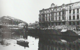
Hitler’s chancellery on the Voßstrasse after the battle of Berlin.
(picture: source unknown)
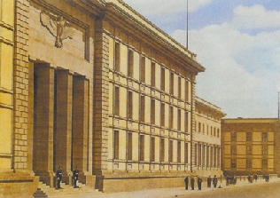
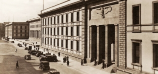
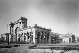
Hitler’s chancellery in better shape: the forecourt that the Bormann group crossed is in the back of the picture. (picture: source unknown)

The ruïns of the old and new Kanzlei after the war. The street in front of it is the Wilhelmstrasse. Across the street is the Wilhelmplatz. (picture: After The Battle, 1988)

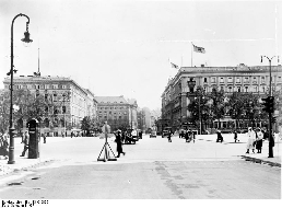
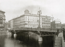
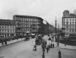
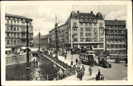
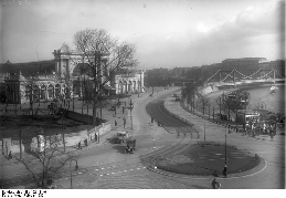
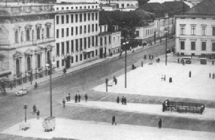
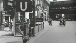
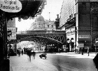
The Wilhelmplatz as seen from the Voßstrasse in 1937. The U-
(picture: Bundesarchiv)

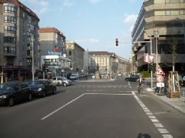
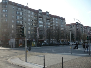
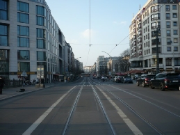
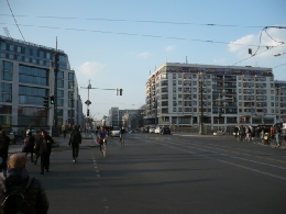
The corner of the Wilhelmstrasse and the remaining part of the Wilhelmplatz
(picture: the Hitlerpages, 2015)
A wrong turn
Inside the tunnel the Naumann/Bormann group wanted to take the same route the group of general Mohnke had taken: straight to the Friedrichstrasse station. However, at U-
U-
Location: Friedrichstrasse
Today: Still there
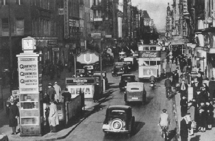
U-
(picture: copyrights unknown )
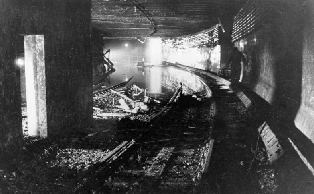
The U-
(picture: Bundesarchiv)
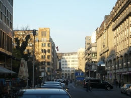
U-


U-
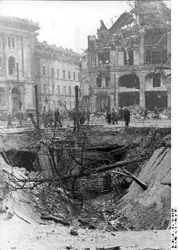
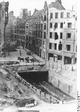
Above ground again
Having reached U-
U-
Location: Hausvogteiplatz
Today: The entrance to the U-
U-
(pictures: Bundesarchiv)
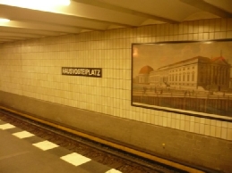
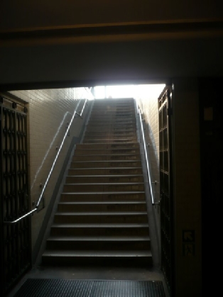
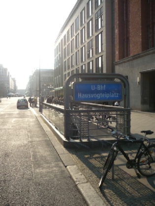
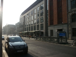
The stairs of U-
U-
U-
(picture: the Hitlerpages, 2015)
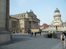
The Gendarmenmarkt in 2014
(picture: the Hitlerpages, 2014)
The Taubenstrasse, still ruined in 1950
(picture: Bundesarchiv)
The Taubenstrasse seen from the Gendarmenmarkt (looking eastwards, towards the U-
(picture: the Hitlerpages, 2015)
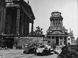
The Gendarmenmarkt in 1945
(picture: Bildarchiv Preussischer Kulturbesitz)
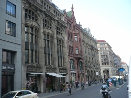
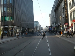
The Friedrichstrasse in 2014
(picture: the Hitlerpages, 2014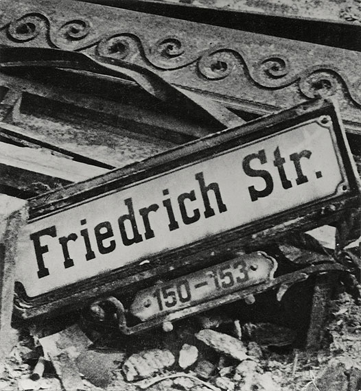 )
)
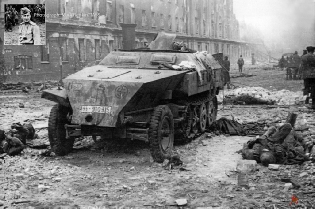
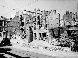
The Friedrichstrasse in 1945
(picture: Mark Redkin)
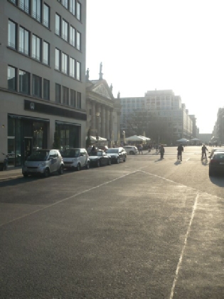
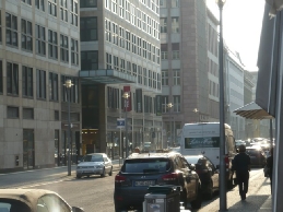
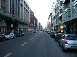
The Friedrichstrasse, right before the crossing with the Jägerstrasse
(picture: the Hitlerpages, 2015)
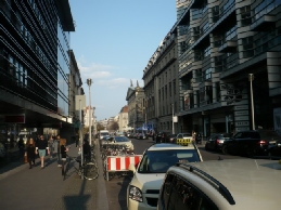
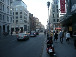
Bormann and his company might also have taken the street on the right of this crossing (the Französische Strasse) to get to this street (the Friedrichstrasse).
(picture: the Hitlerpages, 2015)
The west side of the Taubenstrasse. In between the two large buildings on the left runs the Friedrichstrasse.
(picture: the Hitlerpages, 2015)
The fastest way to get to the Friedrichstrasse from the U-

Crossing Unter den Linden
Bormann and the men that were with him at that time crossed Unter den Linden at the crossing Friedrichstrasse/Unter den Linden. It must have been pretty dangerous to cross the street because the Russians were already in possession of the Reichstach area on the west side of Unter den Linden.
Crossing Friedrichstrasse/Unter den Linden
Location: Berlin-
Today: The crossing has changed a lot, only the Haus der Schweiz is still there.

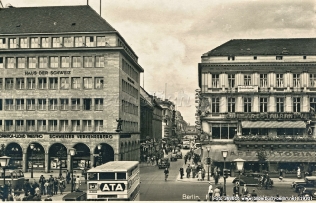
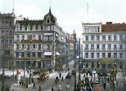
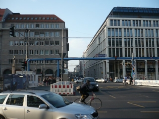
The crossing Friedrichstrasse/Unter den Linden facing the Haus der Schweiz. In the back of the street is the S-
(picture: Bilderbuch Berlin, 1930)
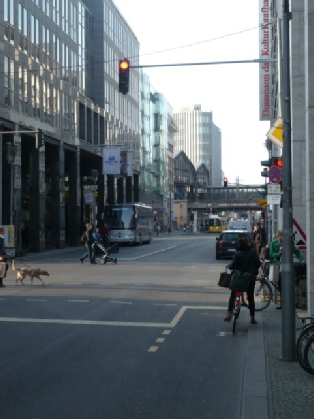
The same crossing today
(picture: the Hitlerpages, 2015)
Reaching the Spree
At the end of the Friedrichstrasse, just past the S-
Weidendammer Brücke
Location: Bridge over the Spree in the Friedrichstrasse
Today: Most buildings in the area are post-
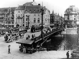
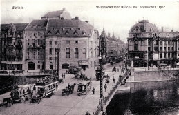
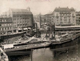
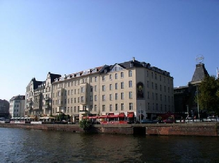
These pictures show the Weidendammer Brücke and the Komischen Oper on the south side of the Spree long before the war. (pictures: copyright unknown)
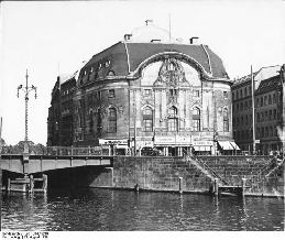
The Künstlertheater (or the Komischen Oper) used to be on the south side of the Weidendammer Brücke. It was there when Bormann tried to escape in 1945. This picture shows the bridge across the Spree and the theatre in 1939.
(picture: Bundesarchiv, 1939)
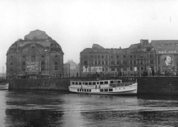
The ruins of the theatre were still there in april 1950. (picture: Bundesarchiv, 1950)

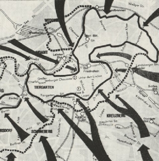

A map of Berlin during the last days of the German Reich. The area within the black line is still German. The Reichkanzlei is marked as number 1. It seems like there is only one way out: to the north. In the narrow passage (Bhf. Friedrichstrasse) is the Weidendammer Brücke. When Bormann tried to get through this passage the Russians had already closed it. (map: Besymenski, 1965)
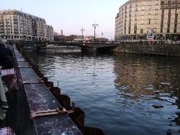
The Weidendammer Brücke today
(picture: the Hitlerpages, 2015)
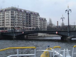
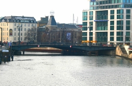
The Weidendammer Brücke in 2013. The Hotel Riverside is built where hotel Atlas used to be. (picture: the Hitlerpages, 2013)
The north side of the Spree as seen from the Weidendammer Brücke. On the left is the office building Spreekarree, on the right is the Hotel Riverside.
(pictures: the Hitlerpages, 2015)

The Schiffbauerdamm after the war
(picture: copyrights unknown)
The Schiffbauerdamm today
(picture: copyrights unknown)
On the corner of the Schiffbauerdamm/
Friedrichstrasse are modern buildings now. This picture shows the Spreekarree building on this corner (the buidling on the right). (picture: copyrights unknown)
Stuck behind the bridge
At 1.30 hours the Bormann group was not longer together and the route to the north through the Friedrichstrasse was blocked by the Russians. Bormann, Baur, Naumann en Stumpfegger were in a basement at that time, a block away from the Weidendammer Brücke. At about 1.45 hours Baur said he wanted to go east through the Ziegelstrasse. Bormann ordered him to stay.
Cellar in the Weidendammer Brücke area
Location: A block away from the Weidedammer Brücke, exact location unkown
Today: Most original buildings in the area are gone.

Ludwig Stumpfegger

The Friedrichstrasse looking north from the Weidendammer Bridge toward the Ziegelstrasse. This area has changed completely.
(picture: Chuck Anesi, 1995)
Climbing over Hotel Atlas
At 2.00 hours Bormann, Naumann, Stumpfegger en Baur climbed over the ruines of the Atlas hotel to get to the Ziegelstrasse. There they got into a basement full of woonded people. If they reached the Ziegelstrasse is not entirely clear.
Hotel Atlas -
Location: Hotel Atlas was on the corner Friedrichstrasse-
Today: Hotel Atlas doesn’t exist anymore, some buildings on the Ziegelstrasse seem to have survived the war.
Martin Bormann probably never reached the Ziegelstrasse.
(picture: the Hitlerpages, 2015)
The Riverside Hotel is located where Hotel Atlas once was.
(picture: unknown)
Hotel Atlas (on the right), hotel New York (on the left) and the Weidendammer Brücke (picture: postcard 1911)


According to the author Besymenski this picture shows the part of the Friedrichstrasse that’s north of the Weidendammer Brücke.
(picture: Besymenski, 1965)
The northern part of the Friedrichstrasse today. The picture is taken from the corner Friedrichstrasse/Ziegelstrasse.
(picture: the Hitlerpages, 2015)
The Ziegelstrasse
(picture: the Hitlerpages, 2015)

Shot by an anti-
At 02.30 hours the Bormann group left the basement. About what happened next has been a lot of discussion. Hitler’s driver Kemka told the Nürnberg jury after the war that Bormann ended up in a Panzergefecht, a tank battle. Kemka said that he saw Bormann thrown into the air after an explosion of an anti-
Artur Axmann also saw the explosion of the tank. He said that tanks accompanied the men towards the Ziegelstrasse. Somewhere on the way the attack must have taken place. Axmann was slightly injured by the attack. When he was looking for cover after he got woonded, he went into a bomb crater where he met Bormann and other men from the Reichskanzlei.
Tankexplosion
Location: somewhere between the Weidendammer Brücke and the
Ziegelstrasse
Today: The area has changed completely and was renovated recently.

The results of a tank battle on the Moltkebrücke, 1945. The Moltkebrücke is a bridge over the Spree, near the Reichstag building. Although there are quite a lot tanks here, the scene on the Weidendammer Brücke is comparable. (picture: copyright unknown)
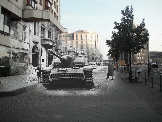
An edit of the picture above. It is a mix of the location then and now. (edit: Martin Malinski)
Looking for shelter
After Bormann, Baur, Stumpfegger and Werner Nauman left the bomb crater, they were said to have found shelter in the entrance of a damaged house nearby. They were probably still at the north side of the bridge. The Russians were already in the garden that belonged to the house.

Bomb crater and house entrance
Location: Somewhere between the Weidendammer Brücke and the Ziegelstrasse. Exact location unknown.
Today: The complete area was ruined after the war.
Werner Naumann
Severely damaged houses somewhere in Berlin (picture: copyrights unknown)


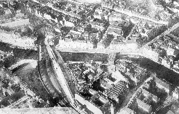
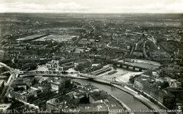
Station Friedrichstrasse and the train bridge over the Spree, as seen from the air. The Weidendammer Brücke and the Schiffbauerdamm are in the centre of the picture. (picture: unknown)
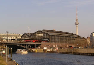
Bahnhof Friedrichstrasse today (picture: wikipedia)
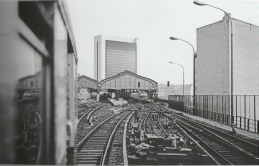
Station Friedrichstrasse in 1983
(picture: Springer, 1983)
The Weidendammer Brücke, facing north
(picture: Bundesarchiv)
The S-

S-
The Bormann group pulled back to the station Friedrichstrasse. There they took the S-
S-
Location: Above the Margarete-
Today: The tracks still run there.
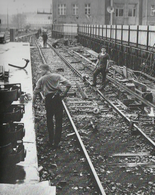
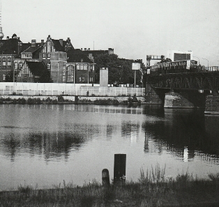
The old bridge across the Humboldt Hafen. The Berlin Wall is on the other side of the river.
(picture: Springer, 1961)

1

2

3
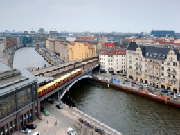
The train bridge over the river Spree. On the left side of the picture is the Friedrichstrasse station. In the back of the picture, left of the centre, is the Reichstag, that was in may 1945 taken by the Russians. (picture: copyrights unkown)
The train bridge across the Spree as seen from the Weidendammer Brücke.
(picture: the Hitlerpages, 2015)
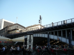
The tracks from the Friedrichstrasse station go over the Spree and dissapear between the houses of the Schiffbauerdamm. (picture: the Hitlerpages, 2015)
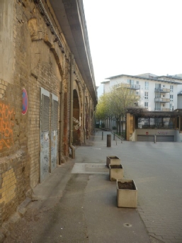
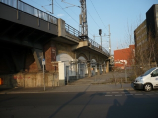
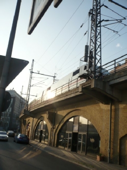
The viaduct that Bormann took when he tried to get away, runs along the Mar-
(picture: the Hitlerpages, 2015)
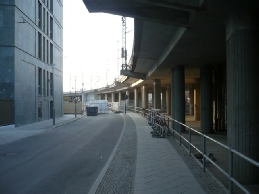
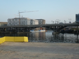
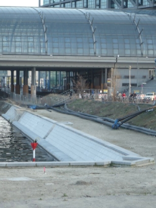
The last part of the route was the bridge over the Humboldt Hafen. The bridge was replaced by a modern one when the Berlin Hauptbahnhof was constructed. On this picture is the beginning of the modern construction and the Margarete-
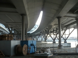
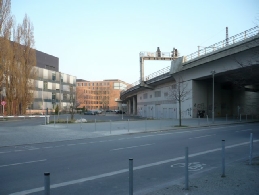
The end of the old viaduct and bridge was slightly different from the new one. It ran on the outside of the bend, right next to where the new bridge is now. Exactly where the open space is seen: inbetween the new bridge and the buildings on this picture. (picture: the Hitlerpages, 2015)
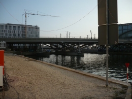
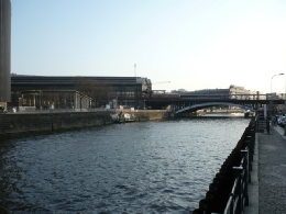
The new bridge over the Humboldt Hafen (picture: the Hitlerpages, 2015)
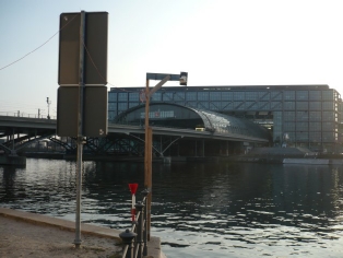
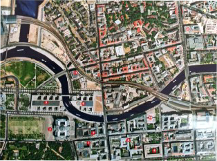
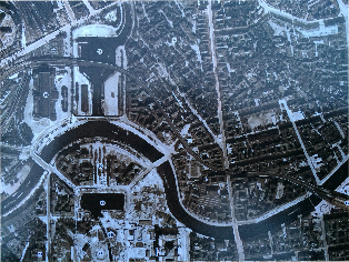
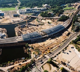
The old bridge over the Humboldt Hafen was on the outside of the bend of the new bridge. The aerial views of the old and new situation show that the old bridge went over the wider part of the water and that the new bridge crosses the narrow part of the Humboldt Hafen.
(picture: the Hitlerpages, 2015)
The tracks from station Friedrichstrasse to the Friedrich-
(picture: Über Berlin, map 2008)
Another picture of the typical Berlin train viaduct (picture: the Hitlerpages, 2015)
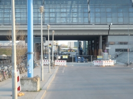
Under the new bridge over the Humboldt Hafen (picture: the Hitlerpages, 2015)
A dead end
After Bormann and Stumpfegger ran away from the Russians they went eastwards on the Invalidenstrasse. Axmann and his Adjudant Günter Weltzin went westward on the same street. Axmann and Weltzin later made statements about what happened to Bormann and Stumpfegger. It seems like Bormann and Stumpfegger didn’t get far because they ran into Russian soldiers at the Sandkrugbrücke. They returned to the area of the Lehrter Bahnhof. On the ‘Strassenbrücke’ that went over the Hamburg railroad tracks they commited suicide with prussic acid.
Axmann and Weltzin didn’t run from the Russian soldiers. They walked, as calmly as possible, towards the Invalidenstrasse, which they took in the opposite direction of Bormann and Stumpfegger. That means they went westwards. After about ten minutes they ended up in an area where tanks were firing, so they also went back to the area of the Lehrter station. When they arrived at the ‘Strassenbrücke’ over the ‘Fernbahnlinie Lehrter Bahnhof-
Location of Bormann’s suïcide
Location: Bridge or grounds directly north of the bridge on the corner Heidestrasse/Invalidenstrasse
Today: The area has changed completely. The traffic bridge is not longer there.

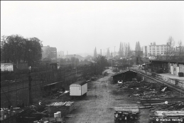
The view from the traffic bridge to the north, roughly the area where Bormann and Stumpfegger commited suïcide
(picture: Markus Hellwig)
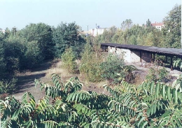
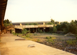
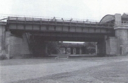
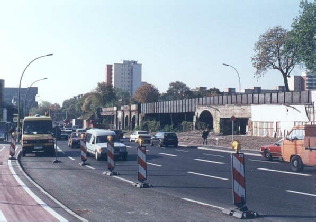
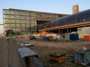
Another possible location where Artur Axmann was said to have found the bodies was right behind the bridge, on the north side. This picture was taken from the center of the in 1995 deserted Invalidienstrasse bridge. The view is northwards. The sheds on the right are post-
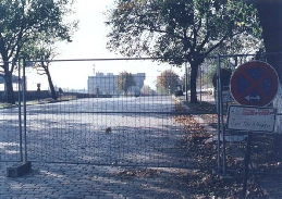
It is said that the bodies Bormann and Stumpfegger were found on this traffic bridge that crossed the tracks of the main railway. When this picture was taken, the bridge was no longer in use.
(picture: Chuck Anesi, 1995)
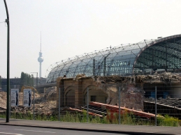
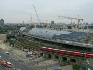
The torn down Lehrter Stadtbahnhof and behind it the new Hauptbahnhof. The traffic bridge that was in front of it has already gone. (picture: copyrights unknown)

1

2

4

5

3
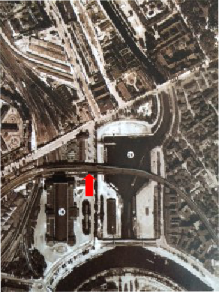
The bridge area of the Lehrter Bahnhof. Arrow number 1 marks the main entrance of the Lehrter train station. Number 2 points at the Invalidenstrasse traffic bridge, the bridge where Bormann and Stumpfegger commited suïcide. The 3rd arrow points at the S-
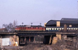
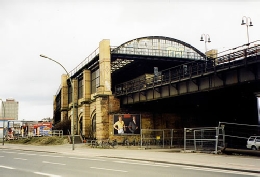
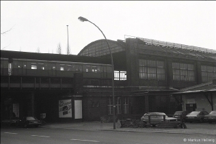
The traffic bridge from the other side. The Lehrter S-
(picture: copyrights unknown)
The Lehrter S-
(picture: copyrights unknown)
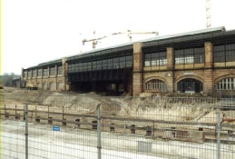
The trainbridge as seen from the south-
The Lehrter S-
(picture: copyrights unknown)
The Lehrter S-
(pictures: copyright unknown)
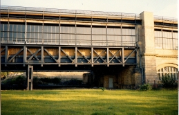
The Lehrter S-
(picture: copyright unknown)
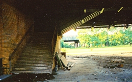
Underneath the Lehrter S-
View to the north from where the traffic bridge used to be.
(picture: copyrights unknown)
The traffic bridge area. View to the north-
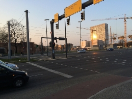
The corner Heidestrasse/Invalidenstrasse, with the building of the Sozialgericht Berlin. Bormann and Stupfegger were also said to have commited suïcide on this corner (left of the Sozialgericht Berlin). That makes sense because here was one end of the bridge. I believe it makes more sense that the bodies were found near the centre of the bridge. Most reports say so.
(picture: the Hitlerpages, 2015)
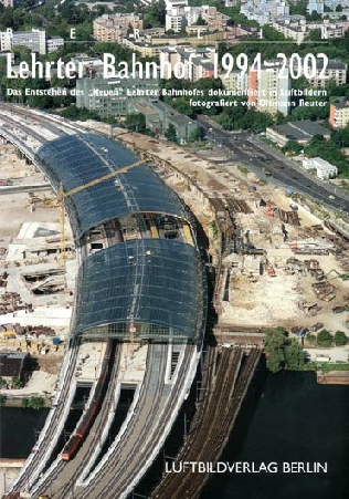
This cover of a picture book shows where the old and the new (S-
(picture: Luftbildverlag Berlin)

The Invalidenstrasse on groundlevel in the 90’s. The view of this picture is west, just like the picture above it. The old traffic bridge is still there. The red arrow points at the location where the bridge crossed the main railway to the north.
(picture: Chuck Anesi, 1995)
The new station is being built. The old S-
(picture: copyrights unknown)

2

1

3
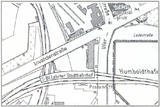
A map of the old situation. 1. The Invalidenstrasse bridge 2. The Friedrich-
(map: copyrights unknown)

2

1

3

4
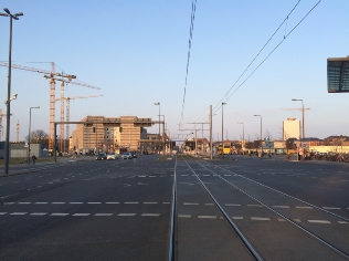
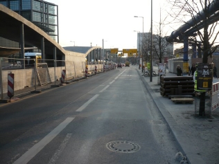
On this side of the street the traffic bridge used to be. The view of the picture is westwards.
(picture: the Hitlerpages, 2015)
The old S-
(picture: the Hitlerpages, 2015)
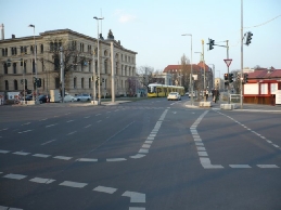
The old traffic bridge used to be on the left side of this street (the Invalidenstrasse).
(picture: the Hitlerpages, 2015)


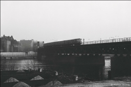
The old bridge over the Humboldt Hafen (with the Berlin Wall in the background) (picture: copyrights unknown)
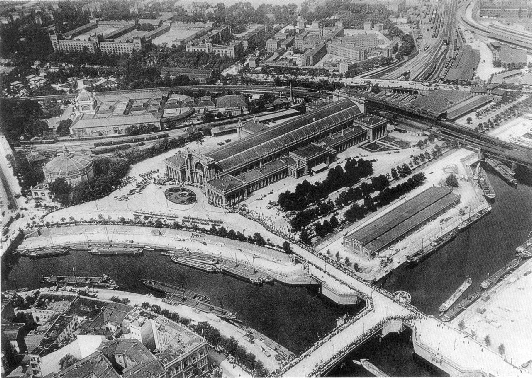
The Lehrter Station in 1932
(picture: Bundesarchiv, 1932)
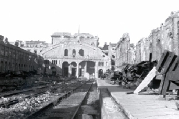
The ruined Lehrter Bahnhof in 1956
(picture: copyrights unkown)
The new bridge over the Humboldt Hafen still runs over the Friedrich-
The Invalidenstrasse exit of the Berlin Hauptbahnhof as seen from the Friedrich-
(picture: the Hitlerpages, 2015)
The Lehrter Bahnhof and the Humboldt Hafen (picture: copyrights unknown)
The Lehrter Bahnhof area. The red arrow marks the location where Bormann, Stumpfegger, Axmann and Weltzin got off the S-
(picture: Über Berlin, map 1943)
The Friedrich-
(picture: the Hitlerpages, 2015)
U-
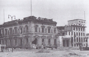
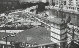
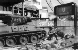
The damaged corner Voßstrasse/Wilhelmstrasse. Below right is the U-
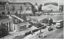
The Wilhelmplatz when it was still intact. The U-

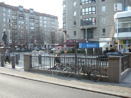
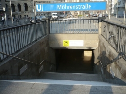
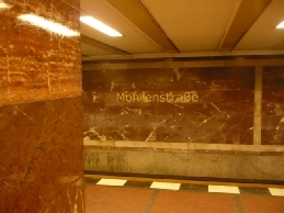
The red marble of U-
Passing Friedrichstrasse station
After crossing Unter den Linden Bormann and his company went straight ahead through the Friedrichstrasse to the Weidendammer Brücke. They passed the Friedrichstrasse S/U-
Friedrichstrasse north
Location: Between Unter den Linden and the Weidendammer Brücke
Today: The area has been reconstructed almost completely.
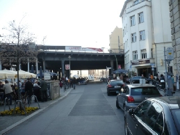
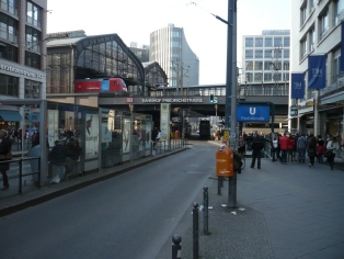
The Friedrichstrasse today. In the back of the street is the Friedrichstrasse station.
(picture: the Hitlerpages, 2015)
S-
(picture: the Hitlerpages, 2015)
The Schiffbauerdamm, the river Spree and the south side of the river, during the building of the north-
(picture: Springer, 2013)
The north side of the S-
(picture: Springer, 2013)
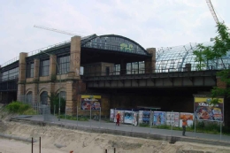
The ruined S-
An empty space between the Spree and the Weidendammer Brücke. The buildings in the back are behind the river on the Schiffbauerdamm. (picture: Springer, 2013)
S-
(picture: Springer, 2013)

The Friedrichstrasse and the station after the war
(picture: copyrights unknown)
The Friedrichstrasse with the station today
(picture: the Hitlerpages, 2015)
The station Friedrichstrasse before the war
(picture: copyrights unknown)


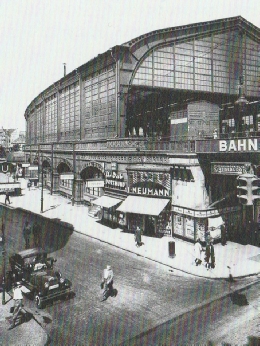
The south side of the station
(picture: Springer, 1928)
Bahnhof Friedrichstrasse april 1945
(picture: unknown, 1945)
The station Friedrichstrasse today
(picture: the Hitlerpages, 2015)
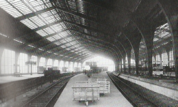
The station hall and the tracks in 1935
(picture: Springer, 1935)
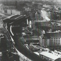
An aerial view of the station area
(picture: Springer, 1980)
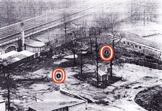
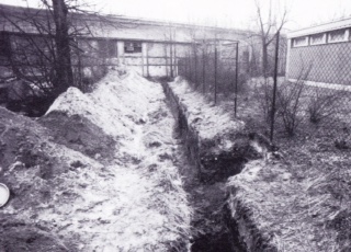
In 1965 digging for the remains of Bormann and Stumpfegger took place very near the S-
(picture: Von Lang, 1987)
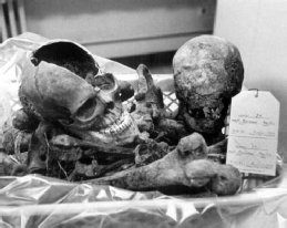
In 1972 two skeletons were found on the same grounds, compare the barracks on the picture with those on the picture above it, just a few metres from where authorities looked for them in 1965. They were identified as the skeletons of Martin Bormann and Ludwig Stumpfegger. On this picture the gravesites are marked.
(picture: copyrights unknown)
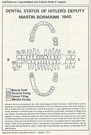
The dental status of Martin Bormann
(picture: Von Lang, 1987)
Looking for proof -
After the war it seemed that nobody really knew where the remains of Martin Bormann were. That led to all kinds of stories. Some said Bormann didn’t die near the Lehrter Station, but during the tank attack near the Weidendammer Brücke. Others said that Bormann had always been a Russain agent and that he fled to Moscow. There were other people that thought he had escaped to Argentine. Since the bodies of Stumpfegger and Bormann were not found, the speculations about what happened to them lasted for years.
According to the book Der Sekretär of the German author Jochen von Lang, things went like this: Axmann and Weltzin found the dead bodies of Bormann and Stumpfegger on the traffic bridge. Where exactly is not mentioned. Since Weltzin died in Russian imprisonment, Axmann was the only witness. But there were more witnesses that had seen the bodies. After the war had stopped the Russians ordered some German men from the nearby postoffice to bury the bodies that were lying around the area of the Lehrter Station. Among them was Albert Krumnov, who helped carry the bodies to a place where they were buried. In 1965 authorities started searching for the remains of Stumpfegger and Bormann in the area Krumnov pointed out: the former grounds of the Universem Ausstellungspark (or ULAP-
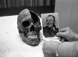
On 7/8 December 1972, during the preparations of an institute that was going to be built on the ULAP-
For the identification of the teeth of Bormann a teeth diagram of Bormann’s nazi-
Burial site of Martin Bormann and Ludwig Stumpfegger
Location: Universum Ausstellungspark (ULAP-
Today: The area has changed completely. I need more pictures of the ULAP-

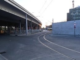
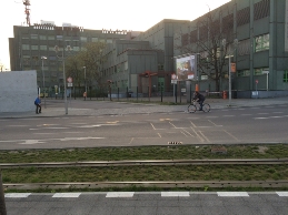
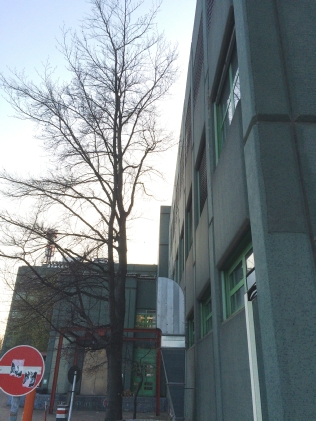
The green building of the Landeslabor Berlin-
(picture: the Hitlerpages, 2015)
The old track ran in front of the new one (that’s on the pictures), where the road is now. Looking at the grey and white picture of the burial site (above, right) it seems like the bodies weren’t buried in front of the curve, but in front of a straight part of the track, that is past the green building of the Landeslabor. (pictures: the Hitlerpages, 2015)
A building scheme of the ULAP-
The skull of Martin Bormann
(picture: copyrights unknown)
The skull of Ludwig Stumpfegger
(picture: copyrights unknown)
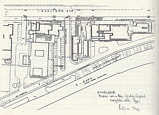

Used sources for this page are (among others): Lew Besymenski -

At the end of April 1945 there was not much left of the German Reich. In Berlin the Germans still only ruled over the government district, which included Hitler’s Reichskanzlei. The Russians controlled the rest of the city. When Hitler died there where still some important people at the Reichkanzlei, for instance Joseph Goebbels and Martin Bormann. Some other men and women in Hitler’s chancellery were important witnesses of what happened to Hitler. Others played a minor roll. Although Goebbels commited suicide, many of them tried to escape Berlin. Only a few succeeded. Bormann, one of the key figures of the German state at that time, also tried to get away. In May 1945 he joined one of the groups that escaped the Reichkanzlei. What happened to him remained a mystery for decades.
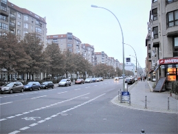
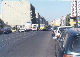
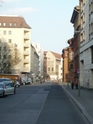
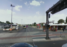
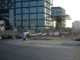
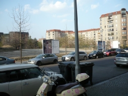
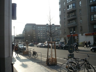
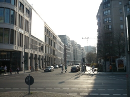
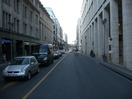
A picture of the Voßstrasse in 2015, showing the same location as the picture above it. The street has completely changed.(picture: the Hitlerpages, 2015)
The Voßstrasse in 2015, from the other side. About here must have been the forecourt of the Reichskanzlei.
(picture: the Hitlerpages, 2015)
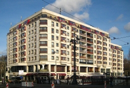
Hitler’s Reichskanzlei used to be where the appartment buildings are now.
(picture: the Hitlerpages, 2015)
Scattered ashes
The remains of Bormann were buried on the grounds of the so called Standesamt 1 in Berlin, a registry office. In 1998 a DNA analysis was made of the remains. There was no doubt: these were the remains of Martin Bormann, once one of the most important men of the German Reich. In 1999 the ashes of Bormann were scattered in the Kieler Bucht, outside German waters.
Location burial Bormann’s remains in 1972
Location: Lentzeallee 107
Today: The building on this address could be original

The crossing Friedrichstrasse/Unter den Linden facing the side of the Friedrichstrasse where Bormann and his group came from. (picture: wikipedia, 1900)
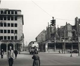
The crossing Friedrichstrasse/Unter den Linden in 1947, facing the other side of the Friedrichstrasse: the side of S-
(picture: upper-
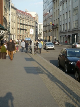
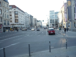
The view from the Voßstrasse on the Wilhelmplatz today
(picture: the Hitlerpages, 2015)
Corner Wilhelmstrasse/Wilhelmplatz today (picture: the Hitlerpages, 2009)
Finding the way through a ruined Berlin
It seems that the different groups that fled the Reichskanzlei mixed up during the journey through the subway system. When Bormann’s group (and possible others that had joined the group) came out of the subway they walked from the Hausvogteiplatz towards the once so beautiful, but by then ruined, Gendarmenmarkt. They walked through the Taubenstrasse to get there. The group, that by then among others, consisted of Baur, Naumann, Bormann en Stumpfegger crossed the Gendarmenmarkt to the Friedrichstrasse to get back to the route they had planned. To get to the Friedrichstrasse they could have taken the Taubenstrasse, Jägerstrasse or the Französische Strasse.
Taubenstrasse -
Location: Berlin-
Today: The Gendarmenmarkt has been renovated completely.
This picture was taken from the east side of the Taubenstrasse, just outside the U-
(picture: the Hitlerpages, 2015)
The Jägerstrasse, another street between the Gendarmenmarkt and the Friedrichstrasse Bormann might have taken
(picture: the Hitlerpages, 2015)
On the south side of the river (compare this picture to the two above) are modern buildings now. (picture: the Hitlerpages, 2015)
A map of the Weidendammer Brücke area. Behind the Panzersperre a tank is drawn. Hitler’s driver Erich Kemka said that he saw Bormann getting blown away when this tank got hit by enemy fire. He thought Bormann was dead, but Kemka was wrong.
(map: Besymenski, 1965)
Across the bridge
For knowledge about Bormanns route and whereabouts we must depend on the statements of eyewitnesses. For instance Hitler’s on those of pilot Hans Bauer. He said that, when he crossed the Weidendammer Brücke, he saw Bormann sitting on a small staircase in front of the entrance of a house, on the corner of the Schiffbauerdamm and the Friedrichstrasse. Bauer said that in front of Bormann a dead Russian soldier was laying on the ground. What this meant doesn’t get clear.

Corner Schiffbauerdamm/Friedrichstrasse. Exact side unknown.
Today: The buildings on the Schiffbauerdamm were destroyed in the war.
Hans Bauer
This picture shows the north side of the Weidendammer Brücke: where Martin Bormann was trying to escape to. The picture shows the location of the Weidendammer Brücke after it was temporarily removed when a U-
The Weidendammer Brücke and the buildings on the north side of it in 1897 and 1898. The buildings on both sides of the Friedrichstrasse were going to change soon. The building on th eright side of the street is still called the Fründ Hotel. It was going to be replaced by or changed into the Hotel Atlas. The building on the left side also changed.
(picture: academic.ru, 1897 & wikipedia, 1898 )
A tank between the Weidendammer Brücke and the Ziegelstrasse, after the battle. The tank faces north. In the background the S-
Back to station Friedrichstrasse
Because they couldn’t escape using the route to the north, Baur, Bormann, Naumann and Stumpfegger decided to try to escape following the Spree to the west. First they had to pull back from the Friedrichstrasse/Ziegelstrasse area. While doing that, Baur lost contact with the other men. Bormann and the rest got back to the Friedrichstrasse station, where they wanted to take the track above ground (S-
S/U-
Location: Georgenstraße 14/17
Today: The station was renovated several times after the war.
The wrong road to freedom
Only the Bormann group, or what was left of it, tried to leave the centre of Berlin by taking a route to the west: on the tracks across the Spree and the Schiffbauerdamm to the Lehrter Bahnhof. Other groups that had left the Reichskanzlei didn’t. The problem of that route was that it passed the Reichstag (on the other side of the river): one of the most dangerous locations in Berlin at that time, because the building was already in possession of the Russian army. Some say taking this route was an estimation error of Bormann, that might have been caused by the fact that Bormann didn’t know Berlin that well. In this city he chose a route he knew well, which happened to be the most dangerous one. On the other hand it seems like the men didn’t really have a choice. The only way out (the route to the north) was blocked and the route to the east was a no go, since the Russians came from there. Another possible reason brought forward for choosing the dangerous route is that the city by that time was completely damaged and that it was hard to recognize the environment. But since Bormann took the S-
It seems that since about 02.30 hours Bormann had grouped up with Naumann, Stumpfegger, Schwägermann, Axmann and Weltzin in a bomb crater (as mentioned earlier).
Hans Baur, who had lost the other men, also chose to take the track to the Lehrter Bahnhof. In his statements made after the war he explained how dangerous the route over the S-
S-
Location: Above the Margarete-
Today: The tracks still run there.
The route Bormann took to the Lehrter Station. Arrow number 1 points at station Friedrichstrasse, number 2 points at the track and arrow number 3 points at the location on Friedrich-
(picture: Über Berlin, map 1943)
According to Hans Bauer the viaduct was shot at from the houses around it and from the area of the Reichstag, on the other side of the Spree. (picture: the Hitlerpages, 2015)
Climbing of the S-
Bormann’s group now consisted of Bormann, Stumpfegger, Axmann and Weltzin. When they arrived at the Lehrter Bahnhof they climbed of the tracks at the Friedrich-
Underneath the bridge they ran into a group of Russian soldiers. The Russians didn’t recognize the Germans as important nazi’s from the Reichskanzlei. They probably thought them to be members of the Volkssturm. According to Axmann the Russians didn’t make any problems. But Bormann and Stumpfegger aroused suspicion when they walked away from the group and, when they were far enough away from the Russians, started running.
 S-
S-
Location: Friedrich-
Today: The contours of the area are the same, but the Lehrter station
doesn’t excist anymore and the bridge over the Humboldt
Hafen has been replaced by a new one. Artur Axmann
The ruined Lehrter Bahnhof from the inside
(picture: copyrights unkown)
The bridge over the Friedrich-
(picture: Markus Hellwig)
A picture made in 2002. The Lehrter Stadtbahnhof is still in operation. The new station is already there.
(picture: copyrights unknown)
A part of the former ULAP-
(picture: the Hitlerpages, 2015)
Although the green Landeslabor is on the former ULAP-
(picture: copyrights unknown)